-40%
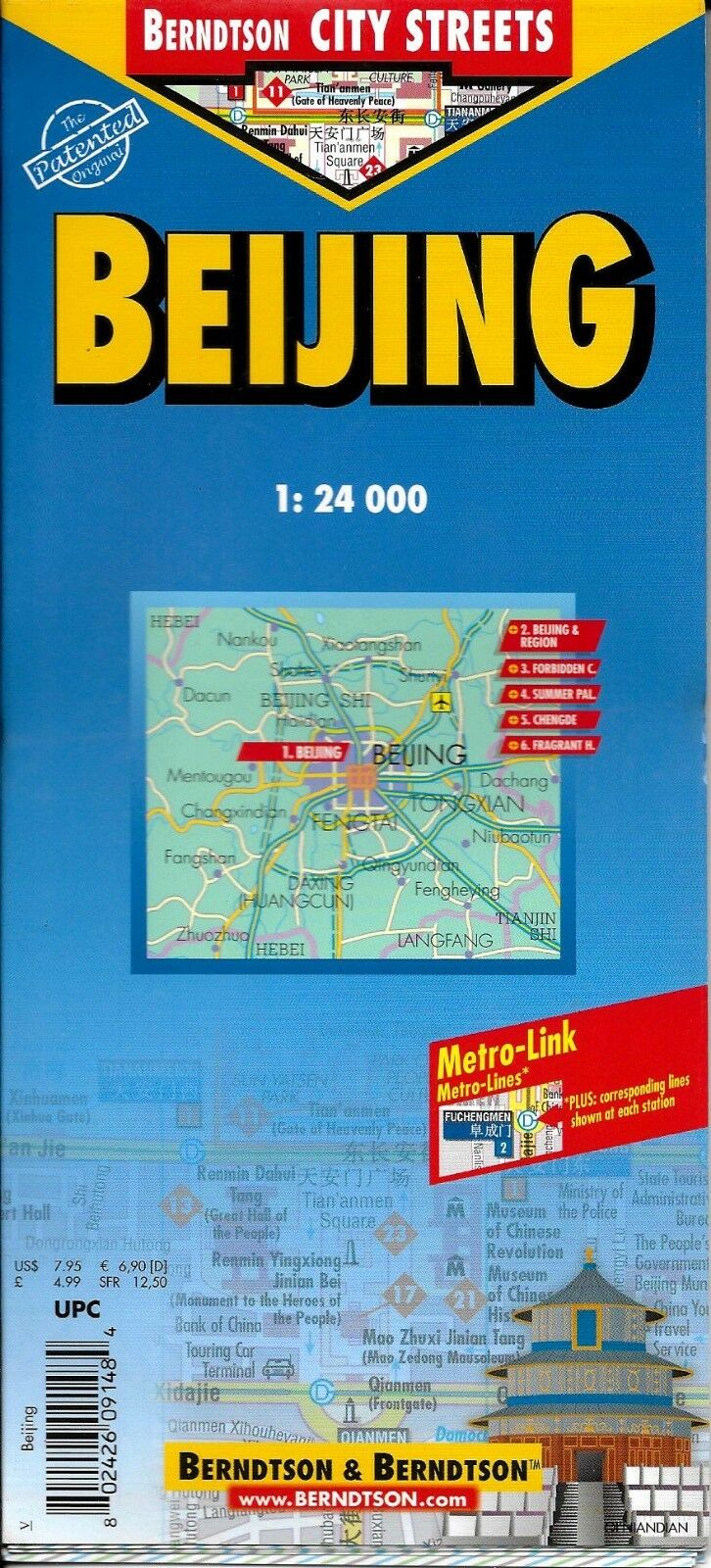
Map of Beijing, (Peking) China Laminated & Folded by Berndston Maps
$ 2.08
- Description
- Size Guide
Description
Map of Beijing, (Peking) China Laminated & Folded by Berndston MapsLaminated road and travel map in color of Beijing. Central Beijing map shows city streets, one-way roads, metro stops, hospitals, Chinese and Buddhist temples, churches, monasteries, synagogues, mosques, cinemas, bus stations, post offices, information centers, subway, city zoo, points of interest, ancient sites, vistas, public buildings, markets, department stores and hotels. Index locates public buildings, streets, embassies, hotels, markets and parks. Scale 1:24,000. Map of greater Beijing and surrounding region shows major roads, Beijing Airport, Great Wall, temples, vistas, ports and beaches. Index locates points of interest and places. Scale 1:1,200,000. Map of Forbidden City locates points of interest and public buildings. Scale 1:6,000. Map of the Summer Palace locates points of interest and parks. Map of Chengde shows ruins, temples and monuments. Scale 1:30,000. Map of Fragrant Hills locates points of interest and public buildings. Scale 1:13,000. Also included are a map of the Beijing Metro, a map of China time zones and charts of average temperatures and precipitation.
Map is lightweight and printed on tear resistant laminated paper. Map measures approx. 18" x 25" when unfolded.
Copyright 2005, ISBN
9783866091481
Map is new, NOS
