-40%
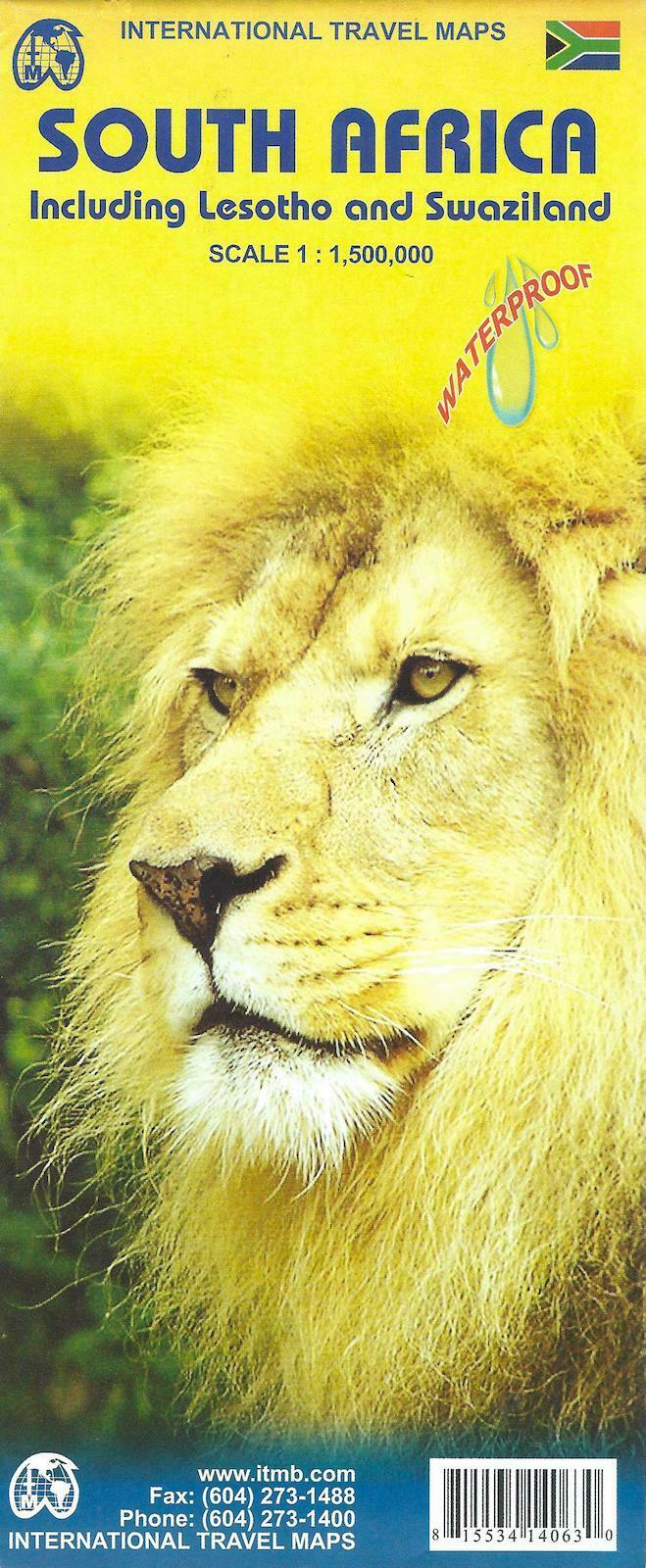
Map of South Africa (including Lesotho and Swaziland), by ITMB
$ 5.25
- Description
- Size Guide
Description
Map of South Africa (including Lesotho and Swaziland), by ITMBPrinted on waterproof and tear resistant paper!
Double sided road and travel map. Scale 1:1,350,000. Distinguishes roads ranging from freeways to tracks. Legend includes railways, ferry lines, waterfalls, national parks, nature reserves, wild life/game reserves, dunes, international/domestic airports, airfields, springs, hot springs, border crossings, points of interest, churches/missions, ruins/archaeological sites, beaches, diving, museums, forts, campsites/huts, rest houses/bungalows, caves, World Heritage Sites, clinics, police stations. Includes inset map of Pretoria, Johannesburg and Cape Town. Extensive place name index. Printed on a durable synthetic paper suitable for tropical conditions.
Map measures 45 x 36 inches when opened.
ISBN
9781553414063
, copyright 2009
Map is new!
